
Sentiers du Patrimoine ®
Oinville-sur-Montcient
Moulin Brûlé
Longer le canal d’alimentation, aller jusqu’à la roue à aubes et remonter jusqu’au premier croisement. Prendre à gauche. A la sortie de ce chemin, traverser la route goudronnée et continuer en face sur le chemin de Juziers. Au niveau du mur du château, continuer à droite, en montée ; à son extrémité, descendre à gauche (rue de l’école). En bas tourner à droite pour rejoindre l’église Saint Séverin. Continuer la rue de l’église, peu après le virage, sur la gauche, emprunter le chemin qui dessert la coulée verte. Admirer le lavoir de la Mathurine situé à votre droite.
Prochain point : lat="49.029626" lon="1.844358"
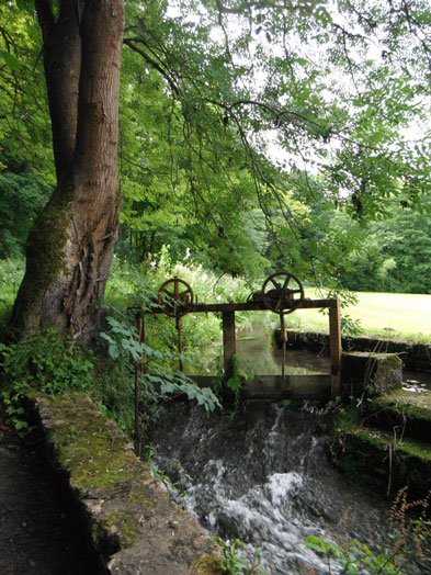
The Bonival mill, or the burnt mill
This mill was used to grind grain up until at least 1852, since there is a record of a miller at in that year. Later it was converted into a light mechanics workshop. After being out of commission for a long period, it was used to power a turbine to produce electricity. A the beginning of the 20th century, the mechanism was once again used for electricity generation. Later the mill was renovated as a factory to for corkscrews, watch-chains and cigar cutters.
Operations ceased in 1973 when the axel of its wheel wore out. The wheel is visible from the side of the road. Water was channelled by an elevated rail allowing the water to run downwards. In the mid 19th century, the wheel was 2.4 metres in diameter and was operated by a 5 metre-high waterfall.